


Wild weather is forecast for the long weekend with a second strong cold front in as many days expected to hit the Mandurah and South West regions tomorrow morning.
A severe weather warning remains in place tonight for parts of the Great Southern, South West, Lower South West, Goldfields-Midlands and Perth Metropolitan.
The Department of Fire and Emergency Services says residents need to get ready now for the thunderstorms coming early tomorrow morning.
Locations which may be affected include Albany, Bunbury, Busselton, Esperance, Katanning, Mandurah, Manjimup, Margaret River, Merredin, Moora, Mount Barker, Narrogin, Northam and Perth.
A very windy and cloudy top of 19 is forecast for Mandurah on Friday along with a possible storm and damaging winds.
It's showers for Saturday and 18 while the heaviest rainfalls are expected in Mandurah on Sunday.
Another strong cold front expected on Friday, reaching Perth around 8am. Keep up to date with the latest warnings at https://t.co/NikaX4QRKr pic.twitter.com/FVzlJK4b3T
— BOM WA (@BOM_WA) September 21, 2017
 Teen boy killed after being struck by two cars while crossing road in Warnbro
 Free supplies, health checks, advice for Mandurah pet owners
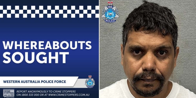 Rockingham Detectives ask for public's help to find wanted man
 LISTEN: WA Police release triple-0 call from shooting murder of bikie boss Nick Martin at Kwinana Motorplex
 Police pursuit comes to crashing end in East Rockingham
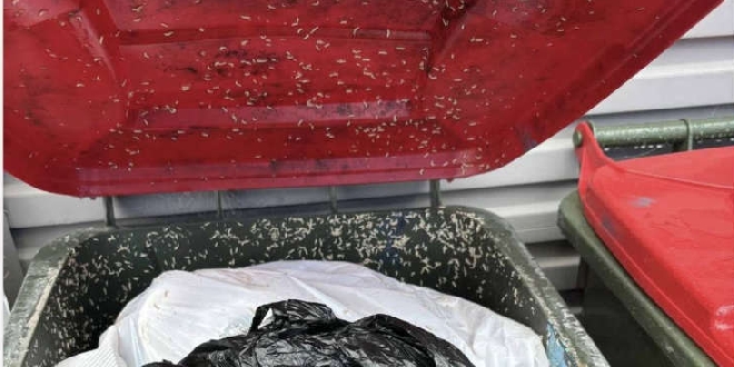 Tensions boil over in Rockingham council chambers as motion to reinstate weekly red bin collections is defeated
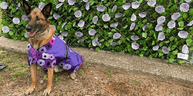 WA's first public National War & Service Animal Day commemoration to be held at Dawesville War Memorial
 New road safety laws to be named in memory of Furnissdale hit-and-run victim
 UK nuclear submarine docks at Rockingham's HMAS Stirling
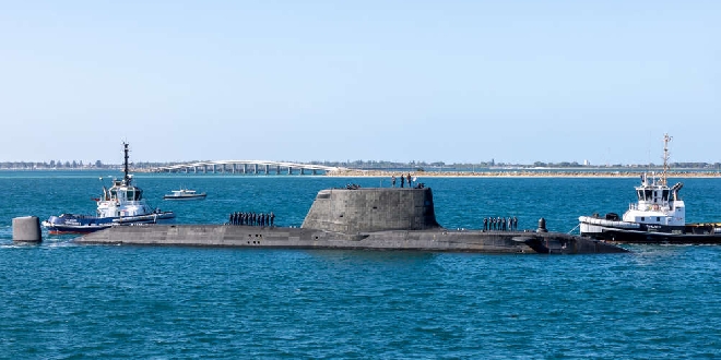