


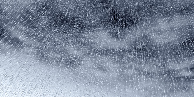
More rain is forecast for Mandurah with heavy falls forecast for Tuesday afternoon while another cold front is also on the way.
We're being warned to expect strong winds and heavy rain from a cold front about to cross the southern half of the state.
Duty forecaster at the Bureau of Meteorology Matt Boterhoven has told the ABC the front that formed in the Southern Ocean will hit the South-West around 8:00am and the metropolitan area early this afternoon.
He forecasted wind gusts of up to 90 kilometres per hour along the coast and rainfall of up to 35 millimetres.
No real relief from the wet and cold conditions in the Mandurah area for the rest of the week.
Showers will continue and a possible storm is predicted for Wednesday with a maximum temperature of just 14 degrees.
Rain moving over the SW. Possible heavy falls over 30mm forecast today. Keep up to date with forecasts at https://t.co/hNAftCy3QS pic.twitter.com/X3vyJnbUHn
— BOM WA (@BOM_WA) August 8, 2017
A marine weather warning is also in place for local waters.
Live from Halls Head:
Perth Weather Live/Facebook
 Mandurah Crab Fest boasts huge range of free, family friendly entertainment
 Fuel prices surge in Perth, Mandurah
 Teen boys charged over Mandurah burglaries
 Tragic update in search for missing man Robert Snyder
 Premier Roger Cook to leave Kwinana electorate, move to Perth
 Mandurah Marine Rescue's new vessel named in memory of nun who survived 1959 boating accident
 Teen dies in motorbike crash at Waroona Dam
 Shark alert issued after whale carcass reported at Preston Beach
 Kwinana businesses to refuse serving students during school hours