


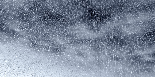
Get set for a stormy and very windy few days staring tonight with the worst of the wild weather expected to hit the area on Sunday night.
The first of three cold fronts will hit Mandurah at around 8pm Friday.
A severe weather warning is currently in place and the Bureau of Meterology says two more fronts will hit tomorrow night and Sunday night.
Sunday's front will be one of the worst weather events of the year, if not the worst.
Wind gusts of over 100 kms/hr are forecast over the weekend as well as flash flooding.
The Department of Fire and Emergency Services WA says people in the Mandurah, the Murray River basin catchment including the Serpentine area, and the Harvey River catchment should prepare for possible minor flooding expected this evening and over the coming days.
Cold front moving over SW WA tonight may produce winds in excess of 100km/h and heavy rainfall. For warnings see https://t.co/NikaX4QRKr pic.twitter.com/btyxXVNswu
— BOM WA (@BOM_WA) August 11, 2017
 Mandurah Crab Fest boasts huge range of free, family friendly entertainment
 Fuel prices surge in Perth, Mandurah
 Teen boys charged over Mandurah burglaries
 Tragic update in search for missing man Robert Snyder
 Premier Roger Cook to leave Kwinana electorate, move to Perth
 Mandurah Marine Rescue's new vessel named in memory of nun who survived 1959 boating accident
 Teen dies in motorbike crash at Waroona Dam
 Shark alert issued after whale carcass reported at Preston Beach
 Kwinana businesses to refuse serving students during school hours