


Get set for a stormy and very windy few days staring tonight with the worst of the wild weather expected to hit the area on Sunday night.
The first of three cold fronts will hit Mandurah at around 8pm Friday.
A severe weather warning is currently in place and the Bureau of Meterology says two more fronts will hit tomorrow night and Sunday night.
Sunday's front will be one of the worst weather events of the year, if not the worst.
Wind gusts of over 100 kms/hr are forecast over the weekend as well as flash flooding.
The Department of Fire and Emergency Services WA says people in the Mandurah, the Murray River basin catchment including the Serpentine area, and the Harvey River catchment should prepare for possible minor flooding expected this evening and over the coming days.
Cold front moving over SW WA tonight may produce winds in excess of 100km/h and heavy rainfall. For warnings see https://t.co/NikaX4QRKr pic.twitter.com/btyxXVNswu
— BOM WA (@BOM_WA) August 11, 2017
 Perth to Bunbury train service returns
 Missing woman found safe and well
 Community fed up with teenage hoons terrorising Halls Head oval
 Southern suburbs electrician claims $1.8 million Lotto win
 Works continue on Pinjarra's Munday Avenue extension
 Halls Head support worker charged with historic child sex offences
 Severe thunderstorm warning cancelled for Mandurah, Bunbury
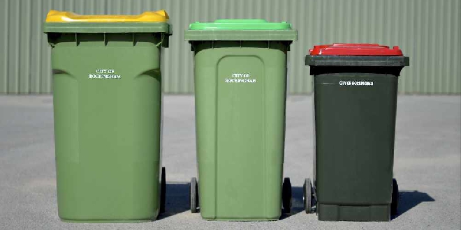 Fortnightly red bin collections to remain in the City of Rockingham after council rejects motion
 Rate rises on the way for Rockingham, Mandurah ratepayers