


Wild weather is forecast for the long weekend with a second strong cold front in as many days expected to hit the Mandurah and South West regions tomorrow morning.
A severe weather warning remains in place tonight for parts of the Great Southern, South West, Lower South West, Goldfields-Midlands and Perth Metropolitan.
The Department of Fire and Emergency Services says residents need to get ready now for the thunderstorms coming early tomorrow morning.
Locations which may be affected include Albany, Bunbury, Busselton, Esperance, Katanning, Mandurah, Manjimup, Margaret River, Merredin, Moora, Mount Barker, Narrogin, Northam and Perth.
A very windy and cloudy top of 19 is forecast for Mandurah on Friday along with a possible storm and damaging winds.
It's showers for Saturday and 18 while the heaviest rainfalls are expected in Mandurah on Sunday.
Another strong cold front expected on Friday, reaching Perth around 8am. Keep up to date with the latest warnings at https://t.co/NikaX4QRKr pic.twitter.com/FVzlJK4b3T
— BOM WA (@BOM_WA) September 21, 2017
 Last call for donations to support Mandurah's homeless
 State Government commits to building $5 million electrical training facility at Rockingham TAFE
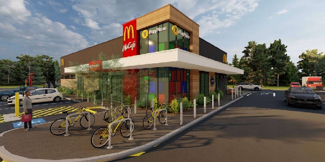 McDonald's approved for Dawesville
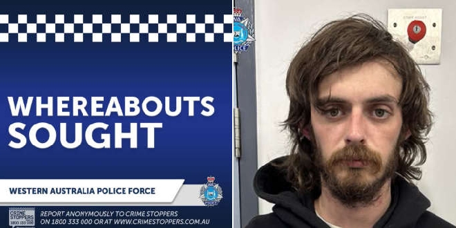 Wanted man known to frequent Kwinana, Mandurah and Rockingham areas
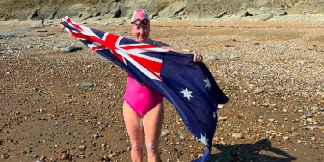 Mandurah woman completes grueling English Channel swim
 Man and child seriously injured in South West crash
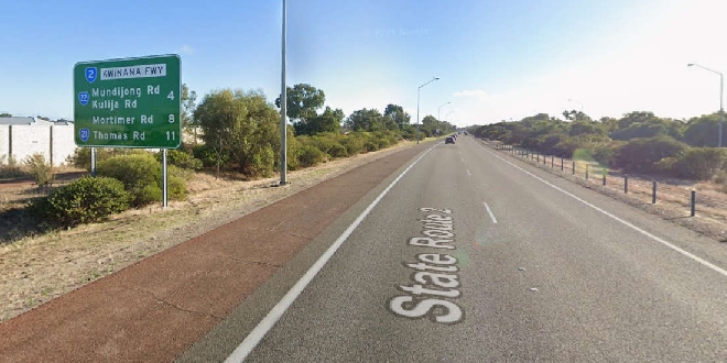 Motorists warned to expect delays during Kwinana Freeway upgrades
 Driver injured in Serpentine crash
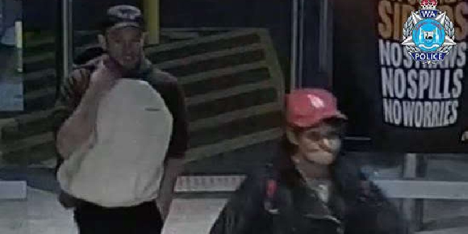 Man and woman wanted for questioning over Lakelands car theft