


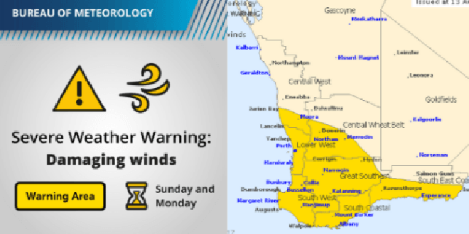
The biggest storm front of the year is forecast to hit Mandurah and the South West on Sunday night.
The worst of the weather, including severe winds, is expected to hit Mandurah at about midnight and could continue until 5am.
The Bureau of Meteorology is predicting wind gusts of up to 125km/h while up to 25mm of rain is forecast to fall in some areas.
Department of Fire and Emergency Services metro district officer Chris Kin-Maung has told The West Australian, state emergency services and volunteers were on “heightened alert”.
“Even though householders may have been unscathed over the last couple of days, now is the time to prepare.
“If it is safe to do so, take action now.
"Prepare around the home, tidy up loose objects in the garden, secure trampolines, garden furniture and play equipment."
A flood watch has been issued for the South West and Lower West districts.
Locations that may be impacted include include Mandurah, Perth, Albany, Bunbury, Esperance, Katanning, Manjimup, Margaret River, Merredin, Moora, Mount Barker, Narrogin and Northam.
Warning out for severe winds over SW WA, see https://t.co/NikaX4QRKr. Windy conditions persist throughout Monday. #Perthweather #WAweather pic.twitter.com/W5YfOxKn0A
— BOM WA (@BOM_WA) August 13, 2017
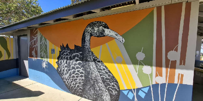 New murals to transform Coodanup, Madora Bay public spaces during Mandurah Arts Festival
 Teen driver allegedly three times over legal alcohol limit in Rockingham
 New councillors elected in Rockingham, Mandurah
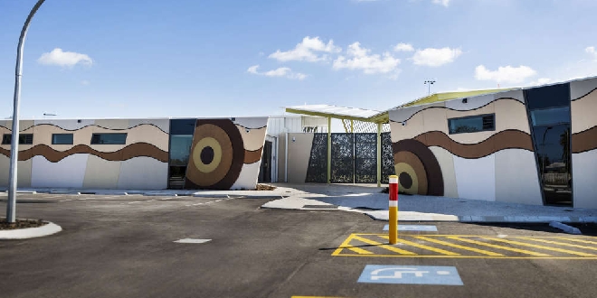 Rockingham's Stan Twight Reserve named 2026 WA Football Facility of the Year Award
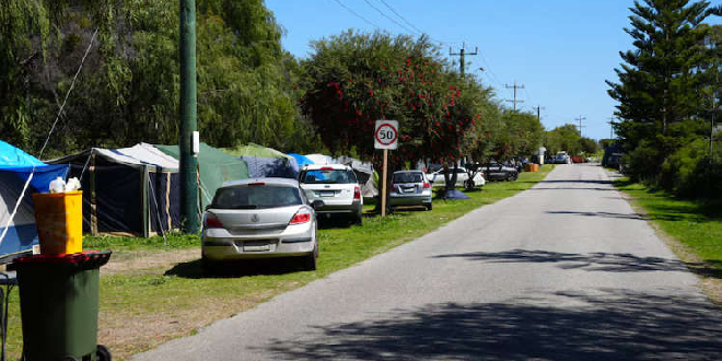 Homeless campers on Memorial Drive given 24 hours to vacate
 Women injured in serious North Dandalup crash
 Daughter of man allegedly stabbed to death in East Rockingham pays tribute to father
 Peel Thunder claim fourth WAFL premiership
 Man dies after suspected stabbing in East Rockingham